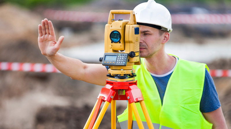
Terrestrial Laser Scanning: Mapping the Future

Terrestrial Laser Scanning (TLS) has revolutionized the way we capture and analyze spatial data. It’s a technology that utilizes laser beams to measure distances to objects, creating highly detailed 3D models of physical structures or environments.
What is Terrestrial Laser Scanning?
At its core, TLS involves sending out laser pulses to objects or surfaces, measuring the time it takes for these pulses to return. This information helps in creating precise, three-dimensional representations of the scanned area.
Importance and Applications
The significance of TLS lies in its multifaceted applications across industries. It aids in creating accurate as-built documentation, assisting in infrastructure planning, and facilitating precise measurements in various fields.
How Works
Technology and Equipment Involved
TLS employs LiDAR (Light Detection and Ranging) technology, usually integrated into a terrestrial laser scanner. These scanners emit laser pulses in different directions, capturing the reflections to generate a point cloud.
Process of Scanning
The scanner rotates or swivels while collecting data, capturing millions of points per second. These points collectively form a dense cloud, providing detailed information about the scanned area.
Advantages
Precision and Accuracy
One of the key advantages of TLS is its exceptional precision and accuracy in capturing spatial data. It provides detailed and reliable information crucial for various industries.
Time and Cost Efficiency
TLS significantly reduces the time required for data collection compared to traditional surveying methods. Moreover, it minimizes the need for revisits, thus cutting down operational costs.
Applications in Various Industries
Construction and Architecture
In the construction industry, TLS aids in monitoring structural integrity, creating accurate building models, and streamlining the design process.
Archaeology and Cultural Heritage Preservation
TLS assists in documenting and preserving cultural heritage sites by creating detailed 3D representations, allowing for virtual tours and restoration planning.
Forestry and Environmental Monitoring
In forestry, TLS helps in assessing forest structure, measuring tree parameters, and monitoring changes in vegetation over time, contributing to environmental conservation efforts.
Challenges and Limitations
Environmental Factors
Terrestrial Laser Scanning’s efficacy can be impacted by environmental conditions. Adverse weather such as fog, rain, or extreme sunlight can obstruct the accuracy of laser measurements, affecting the quality of the captured data. Additionally, scanning in outdoor environments with dense vegetation or reflective surfaces may pose challenges in obtaining precise readings.
Calibration and Instrumentation
Maintaining the accuracy of the equipment used in Terrestrial Laser Scanning is crucial. Calibrating instruments regularly and ensuring their proper functionality is essential for precise measurements. Any misalignment or malfunction can result in distorted data, leading to inaccuracies in the final scanned models.
Mobility and Accessibility
The mobility of Terrestrial Laser Scanning equipment might present limitations in accessing certain areas or terrains. Scanning complex structures or uneven terrains might require multiple setups or adjustments, impacting the scanning process’s efficiency and accuracy.
Data Interpretation and Validation
Interpreting the collected data accurately and validating its reliability is a continual challenge in Terrestrial Laser Scanning. Ensuring that the scanned information aligns with real-world measurements and standards is essential. Moreover, extracting meaningful insights from the data without misinterpretation requires expertise and experience in the field.
Cost Implications
While Terrestrial Laser Scanning offers long-term cost benefits, the initial setup and investment in high-quality equipment and software can be substantial. Additionally, the training required to operate and interpret data from these systems adds to the overall cost, making it a considerable investment for organizations or professionals.
Integration with Existing Systems
Integrating Terrestrial Laser Scanning data with existing workflows and systems within industries can pose integration challenges. Ensuring compatibility and seamless incorporation into design, planning, or analysis processes without disrupting established methodologies requires careful planning and technical expertise.
Regulatory and Ethical Considerations
Compliance with regulations regarding data privacy, property rights, and ethical considerations surrounding the use of scanning technology is imperative. Addressing legal and ethical concerns, especially in sensitive areas like cultural heritage sites or private properties, adds another layer of complexity to utilizing Terrestrial Laser Scanning effectively.
Future Trends
Advancements and Innovations
Ongoing advancements in TLS technology aim to enhance data processing speed, increase scanning range, and improve accuracy, opening new possibilities for its use.
Potential Growth Areas
Fields like autonomous vehicles, urban planning, and disaster management are expected to leverage TLS extensively in the future, driving its growth.
Conclusion
Terrestrial Laser Scanning continues to redefine spatial data collection and analysis across various sectors. Its precision, efficiency, and diverse applications make it a vital tool for modern industries.
FAQs
- Is Terrestrial Laser Scanning safe for the environment? Terrestrial Laser Scanning emits low-energy laser pulses, posing minimal risk to the environment.
- Can TLS be used for indoor scanning? Yes, TLS can be used for indoor scanning, capturing detailed information about interior spaces.
- What are the main differences between TLS and aerial LiDAR? TLS captures data from the ground level, offering higher resolution for smaller areas, while aerial LiDAR covers larger regions but with lower resolution.
- Does Terrestrial Laser Scanning require specialized training to operate? Yes, using TLS equipment efficiently requires specific training to ensure accurate data collection.
- Is Terrestrial Laser Scanning cost-effective compared to traditional surveying methods? Despite initial setup costs, TLS proves cost-effective in the long run due to reduced time and resource requirements.


